


A low-tech route with spectacular views suitable for all levels (great for running!)
The brew of this track is by Dicor and Yuri
The route we propose here is a loop suitable for everyone that can be done in two/three days hiking. We recommend it for the spectacular views and the relatively low number of hikers. The route is accessible by public transport (seasonal buses) and by car.
Route:
You can download the gps data here
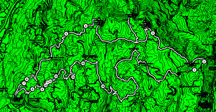
At a Glance
Distance: 65km (40mi)
Duration (average): Two to three days
Difficulty Level: Easy but long
Start / Finish: San Giorgio (VR) / San Giorgio (VR)
Elevation Gain: 2530m (8300 ft)
Elevation Loss: 2530m (8300 ft)
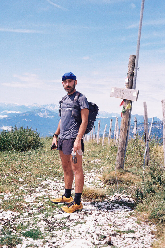
 Francesco as he leaves the Castel Malera behind him.
Getting There & Away:
You can reach San Giorgio (the starting point of the route) by car. There is also a seasonal summer bus from Verona Porta Nuova train station. The “Lessinia Bus & Bike” operates in summer; ATV Line 110 also runs on weekends and holidays.
Season: This is an easily passable route from spring to autumn. Due to the altitude and location, there is snow in the winter months which makes it a ski mountaneering enjoyable destination.
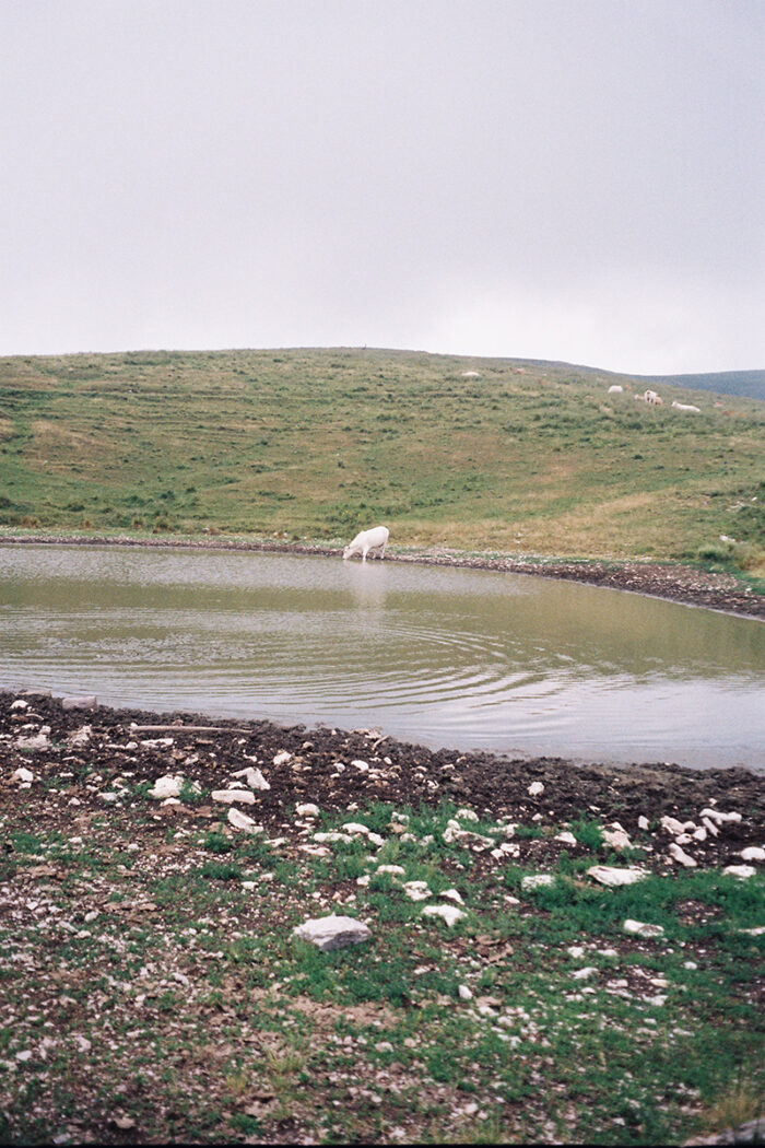
A cow drinks from a lake near Malga Lessinia
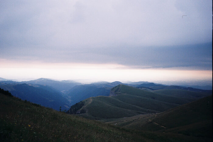 A splendid view on the hills of Lessinia
Informations:
Permits: no permits are required
Language: Italian and English. A basic knowledge of either definitely comes in handy.
Cell/Mobile Phone Coverage: The phone works almost everywhere along the route.
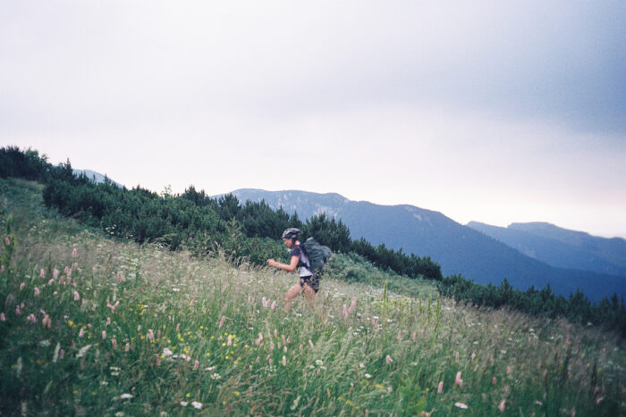
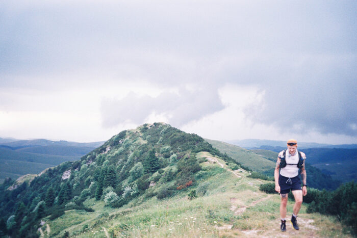
Sofia Blu approaching the climb up Cima Trappola
Resupply & Water:
Resupply: The refugios are called that, but they are effectively restaurants. So expect them to have a kitchen (with prices that are not necessarily affordable) and very little choice of backpacking food (almost only sandwiches). In most refugios, you cannot eat food brought from elsewhere. We therefore recommend that you do not use the facilities and bring all your food from home, as the route is not that long.
Water: In the first part of the route (approximately 30 km), there is almost NO water. The Malghe you will encounter will only have drinking troughs for cows (which we do not recommend drinking from!). Please plan accordingly and bring enough water for the day and for camping.
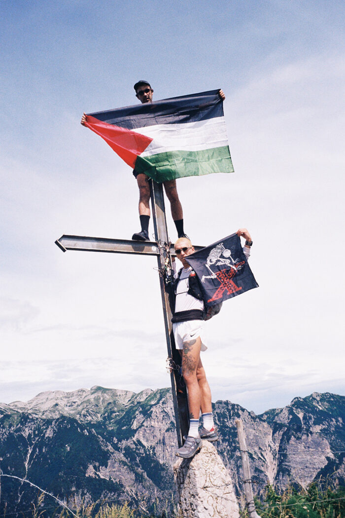 On Mount Sparavieri, the team displays flags rarely seen across Western cities.
Route / Conditions:
Overview: Apart from the first part, which is more mountainous and mainly on single track, the route remains simple and easy to follow. When you reach the highest points, the view is often magnificent, with views of the Little Dolomites and even Adamello and Pizzo Bernina. The route is well marked and the roads are wide and often passable by car. Depending on the season, you can also buy local products at the mountain huts (mainly dairy products). You are sure to meet many cyclists as the route is very popular in the gravel scene.
Worth noting are several tunnels and a cave used during the First World War.
 A monumental picture of Dicor with the Piccole Dolomiti in the background
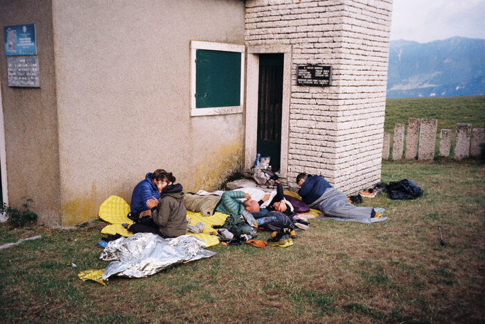
The team sleeps beside a little church near Malga sul Corno d’Aquilio
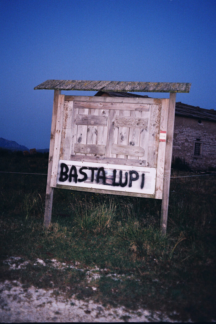 Apparently wolves are something in Lessinia, there have been several attacks on livestock, but we haven’t had any encounters.